Engineering elevated

Asset Inspections
High-Resolution Visual Inspection
- Identifying cracks, corrosion, and structural weaknesses.
- Enables real-time or post-flight analysis
Thermal Imaging & Infrared Scanning
- Detects heat anomalies, which help identify electrical faults, insulation failures, and leaks.
- Useful for power line inspections, solar panel efficiency checks, and industrial plant monitoring.
Remote and Hazardous Area Access
- Inspects areas that are difficult, dangerous, or expensive to access, such as offshore rigs, wind turbines, and high-rise structures.
- Eliminates the need for scaffolding, cranes, or rope access.
Live Data Streaming & Real-Time Monitoring
- Provides instant feedback to ground and remote teams, enabling immediate decision-making.
- Useful for emergency response inspections and disaster assessments.
Agriculture
- Crop health monitoring, irrigation planning, and precision farming.
Mining & Quarrying
- Volume calculations, pit mapping, and mineral exploration.
Real Estate & Urban Planning
- Property surveys, city planning, and land development.
Environmental Monitoring
- Forestry tracking, wildlife conservation, and water resource management.
Disaster Response
- Flood mapping, earthquake damage assessment, and search & rescue operations.
Thermal & Infrared Imaging
- Captures heat signatures for night surveillance and industrial inspections.
- Used for search and rescue, fire monitoring, and electrical fault detection.
Accuracy and Precision
- Generates precise elevation models and topographic maps
- Advanced GPS and photogrammetry provide centimeter-level accuracy.
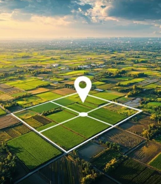
Survey and Mapping
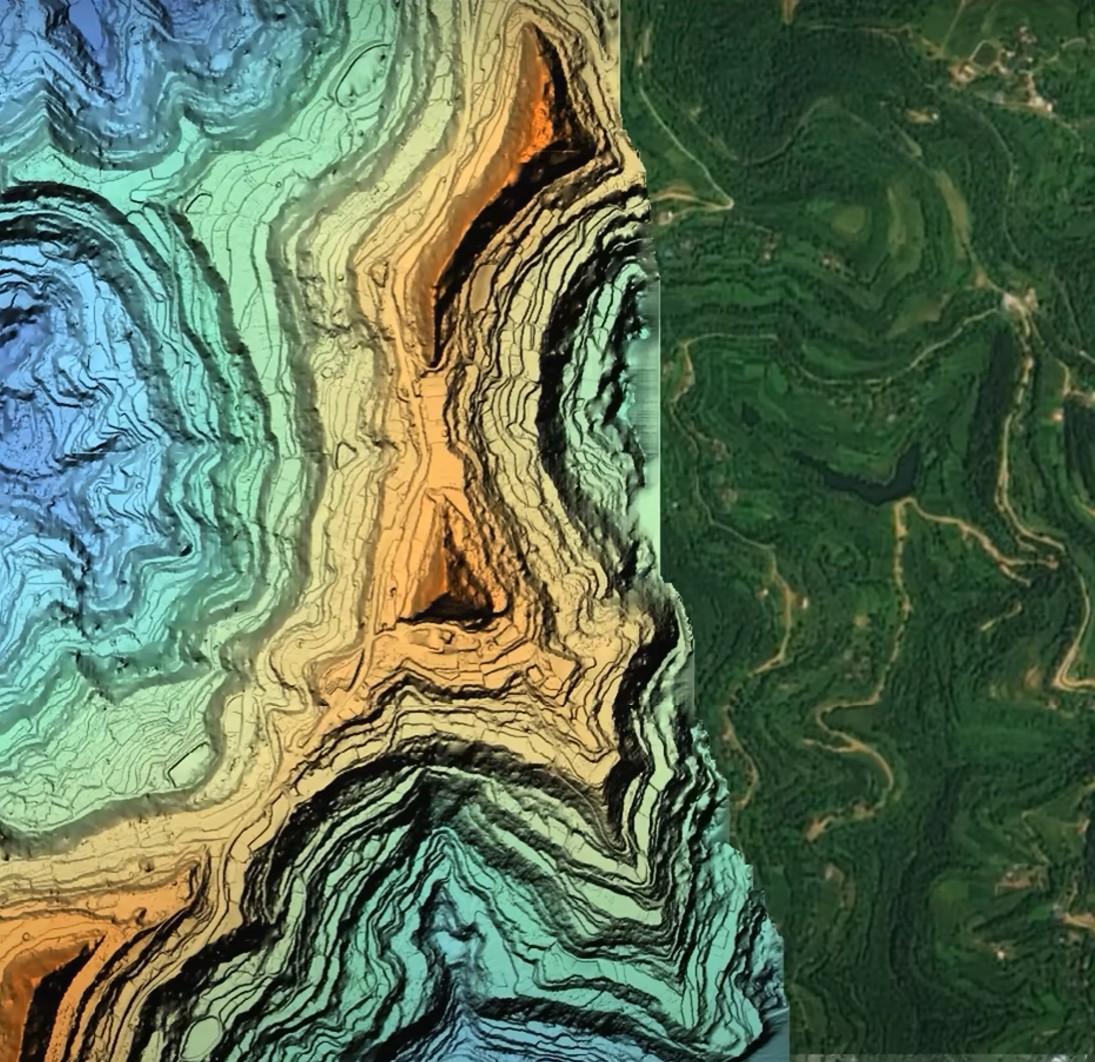
Terrain mapping
Topographic Mapping
- Used to create detailed contour maps of landscapes, showing elevation changes.
- Essential for civil engineering, urban planning, and road construction.
Digital Elevation Models (DEMs)
- Represents the ground surface without vegetation or buildings.
- Used in flood modeling, watershed analysis, and infrastructure planning.
Digital Surface Models (DSMs)
- Captures all features on the surface, including buildings, trees, and vegetation.
- Useful for telecommunications, forestry management, and line-of-sight analysis.
3D Terrain Models
- High-resolution 3D models of landscapes for virtual simulations and planning for geospatial analysis, gaming environments, and VR applications.
Volumetric Analysis for Mining & Quarrying
- Measures stockpile volumes and excavation depths.
- Helps in resource estimation and site planning.
Forestry & Vegetation Mapping
- Identifies tree density, species distribution, and forest health.
- Useful for sustainable forestry management and carbon footprint analysis.
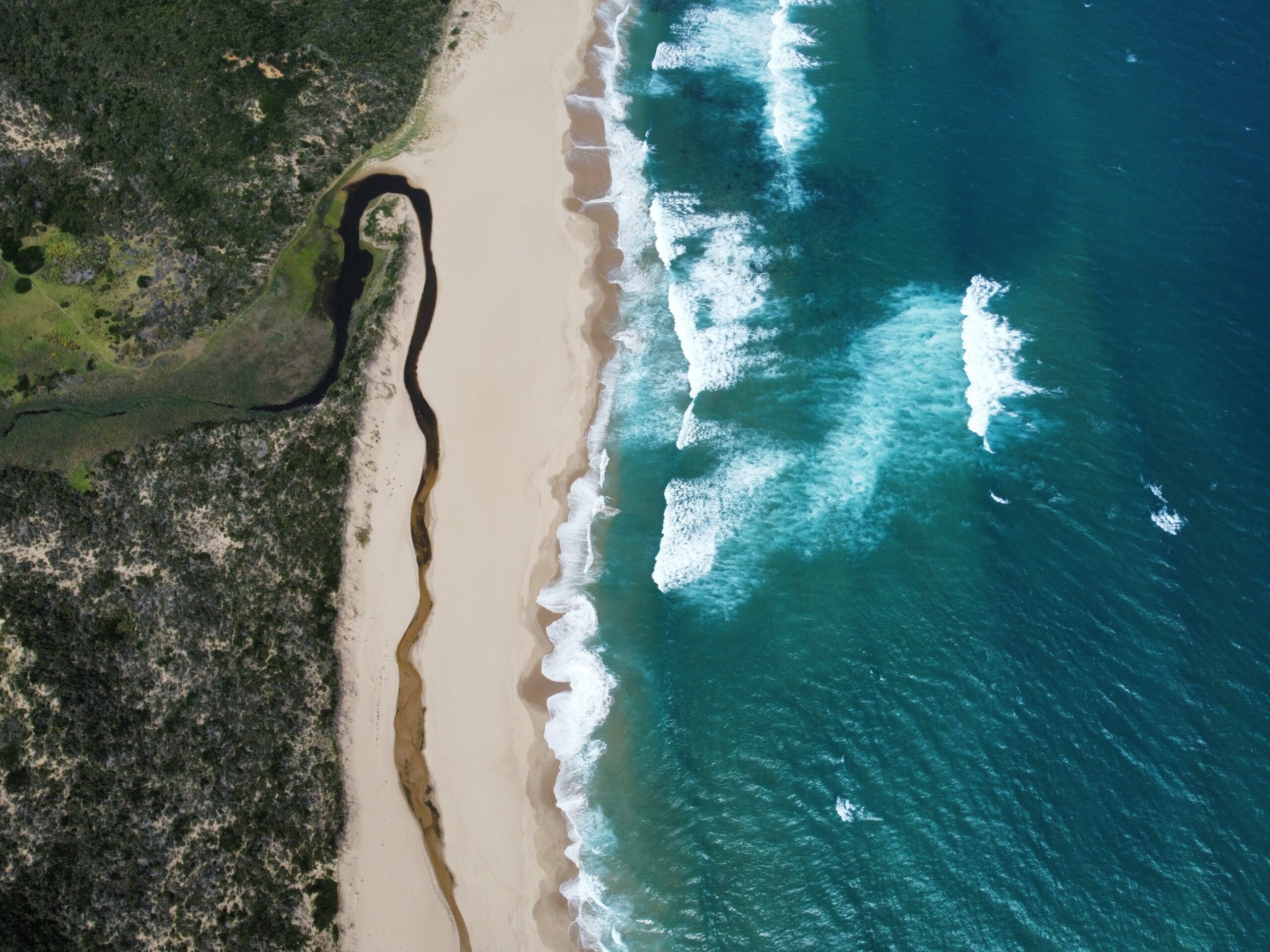
Coastal & Riverbed Mapping
- Assesses shoreline erosion, sediment deposition, and flood risk areas.
- Supports environmental conservation and water resource management.
Landslide & Erosion Monitoring
- Detects changes in terrain stability.
- Used in disaster prevention, geological surveys, and slope stability analysis.
Promotional Video
High-Resolution Imaging
- Captures ultra-clear images (up to 8K resolution) for detailed analysis.
- Supports RAW image formats for professional post-processing.
- Supports RAW image formats for professional post-processing.
4K & 8K Video Recording
- Smooth, cinematic-quality video with high frame rates.
- Supports slow-motion, time-lapse, and hyperlapse for dynamic content creation.
Live Streaming & Real-Time Monitoring
- Broadcasts live aerial footage for events, news coverage, and inspections.
- Ideal for security monitoring, sports events, and emergency response.
Automated Flight Paths & Tracking
- Enables pre-programmed routes for consistent aerial shots.
- Object-tracking capabilities allow smooth tracking of moving subjects.
360° Panoramic & VR Content
- Creates immersive panoramic images and videos for virtual reality applications.
- Useful in real estate, tourism, and interactive mapping.
Low-Light & Night Photography
- Equipped with specialized sensors for capturing quality images in low-light conditions.
- Useful for security, astronomy, and nighttime event coverage.
Contact us
Have any questions? We are always open to talk about your new projects, creative opportunities and how we can help.